UAV aerial survey services in Sydney and across NSW
Professional UAV mapping services in Sydney
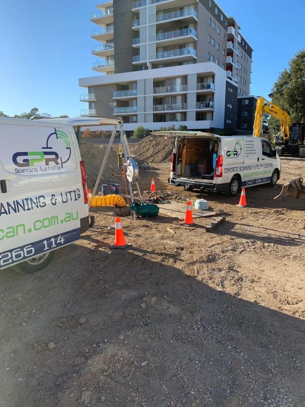
We deliver reliable UAV mapping services using commercial-grade drones and advanced processing software. Our surveys capture detailed aerial imagery and terrain data to support planning, measurement, and reporting across construction and civil projects.
What our UAV aerial surveys provide
- High-resolution aerial imagery
- Orthomosaic site maps
- Topographic mapping and contour data
- Volumetric calculations for stockpiles
- Site progress tracking and reporting
Get accurate aerial data for your project
Need reliable aerial site information? Book a UAV aerial survey in Sydney today for fast turnaround, precise mapping, and actionable project insights.
When drone mapping services are essential
Drone mapping services are ideal for large or complex sites where traditional surveying methods are time-consuming or impractical. UAV technology allows safe, efficient data capture with minimal disruption to on-site operations.
Common UAV survey applications
- Pre-construction site analysis
- Earthworks and stockpile measurement
- Infrastructure and road projects
- Land development planning
- Ongoing construction progress monitoring
Additional services we offer
Concrete scanning
Utility locating
Reinforced steel detection
Under surface voids
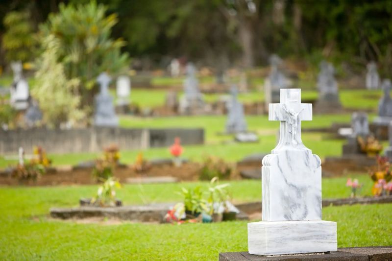
Cemetery mapping
Confined space investigations
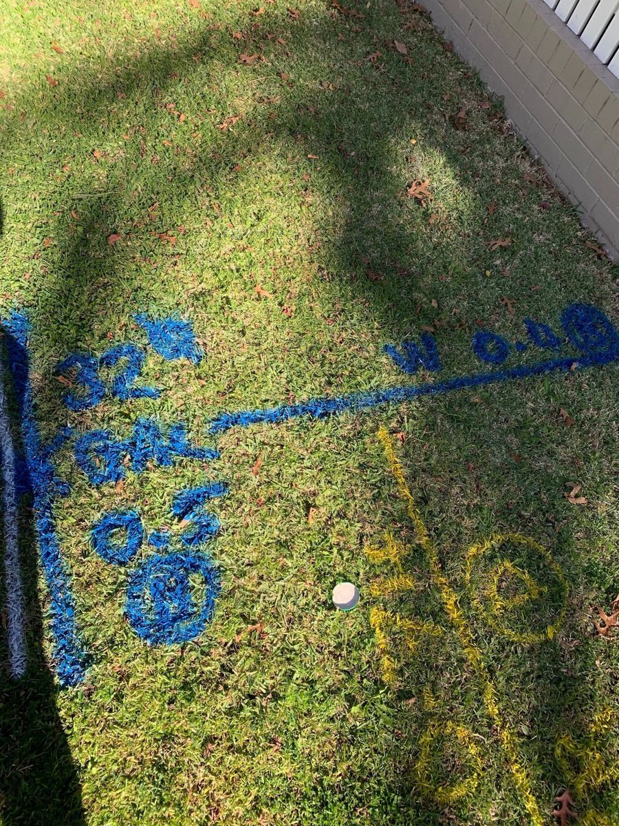
Utility mapping
UAV survey service areas
Based in Smeaton Grange, we provide UAV aerial survey services across Sydney and surrounding regions. Our team supports commercial, civil, and development projects throughout Greater Sydney with responsive scheduling and professional reporting.
We work across locations, including: